
Quick Answer
Optical levels require the user to manually read a graduated rod by looking through the eyepiece. Digital levels automate this by optically scanning a bar-coded rod and displaying the elevation reading on a screen, eliminating reading errors and enabling faster data collection. Digital levels (Leica Sprinter, Topcon DL-500, Trimble DiNi) achieve 0.3-1.0mm per km accuracy — higher than most optical instruments — and are preferred for precise leveling runs, settlement monitoring, and any work where automated data logging is needed. Optical levels remain cost-effective for everyday construction work where 3-5mm accuracy is sufficient.
Optical Level vs Digital Level FAQ
How Each Type Works
An optical level is a telescope on a leveled base. The operator aims at a graduated rod (Philadelphia rod, fiberglass rod), focuses, and reads the rod graduation directly through the eyepiece. Accuracy depends on the quality of the optics, the precision of the self-leveling compensator, and the skill and attention of the rod reader. An experienced crew can achieve 3-5mm/km accuracy with a quality optical instrument.
A digital level uses the same optical platform but replaces human rod reading with an electronic image sensor that captures the bar-coded rod pattern and computes the elevation automatically. Readings are displayed on the instrument screen and optionally logged to memory. The automated reading eliminates the major human error source in leveling — misreading the rod — and is faster on long leveling runs where repeated readings are required.
Frequently Asked Questions
What is the main advantage of a digital level over an optical level?
The main advantage is elimination of rod reading errors. Manual rod reading is the largest source of error and variability in optical leveling — parallax, interpolation between graduations, and simple misreads all contribute. Digital levels read the bar-coded rod automatically and consistently. For long differential leveling runs (benchmarking, settlement monitoring, control leveling), digital levels significantly improve both accuracy and efficiency.
What accuracy does an optical level achieve?
Standard construction optical levels achieve 1.5-3.0mm per km standard deviation. Engineer-grade optical levels (Leica NA730, Sokkia B30) achieve 0.8-1.5mm/km. The practical limitation for most optical work is rod reading error, not the instrument's compensator precision. Under normal field conditions, expect 3-5mm/km for typical two-person crews doing ordinary construction leveling.
What accuracy does a digital level achieve?
Professional digital levels achieve 0.3-1.0mm per km standard deviation — higher than most optical instruments. The Leica DNA03 achieves 0.3mm/km, the Topcon DL-503 achieves 0.4mm/km, and the Trimble DiNi achieves 0.3mm/km. These accuracy figures apply when using the manufacturer's invar bar-coded rod. Using a standard fiberglass rod with a bar-code pattern degrades accuracy somewhat but still typically outperforms manual optical readings.
What is a bar-coded rod and do I need a special one for a digital level?
A bar-coded rod has a printed or invar-inlaid pattern of black-and-white bars instead of graduated millimeter markings. The digital level's sensor reads this pattern to compute rod height. You must use the correct bar-coded rod for your digital level — Leica, Topcon, and Sokkia use different patterns. Invar bar-coded rods (with the pattern on an invar strip stable against temperature changes) are required for the highest accuracy work. Standard graduation rods cannot be read digitally.
Can a digital level be used as a regular optical level?
Yes — all digital levels include a standard optical eyepiece and can read conventional graduated rods manually, functioning exactly as an optical level. This is useful when you need to read a standard rod at a location where you cannot position the bar-coded rod. The digital display is bypassed and you read the rod conventionally. Most crews keep a standard rod available for this purpose.
What is the cost difference between optical and digital levels?
Quality construction optical levels (Leica NA724, Topcon AT-B4, Sokkia B30) cost $500-1,200 new. Professional digital levels cost $2,000-8,000+ depending on accuracy class — the Leica Sprinter series runs $1,500-2,500, while the Leica DNA03 (precision) runs $5,000-8,000. The ROI for digital levels is strongest on high-volume leveling work (settlement monitoring, precise control networks, benchmarking runs) where the automated readings and data logging save significant time.
When should I choose an optical level over a digital level?
Choose an optical level for: general construction site work (slab grades, floor flatness, rough grading), applications where 3-5mm accuracy is sufficient, tight budgets, and environments where the bar-coded rod cannot be used (reading over water, through windows, or in spaces where the full rod cannot be deployed). Optical levels are simpler, more robust, and easier to repair in the field.
When should I choose a digital level?
Choose a digital level for: precise differential leveling runs, settlement and deformation monitoring, establishing benchmark networks, bridge and dam monitoring, and any application requiring sub-millimeter accuracy. The automated data logging makes digital levels invaluable for monitoring programs where readings must be recorded consistently and compared over time without manual transcription errors.
What is a compensator and how does it work in both types?
A compensator is an internal pendulum or prism mechanism that automatically maintains the line of sight horizontal within a small range (typically ±15-20 arcminutes) even when the instrument is slightly off-level. Both optical and digital levels use compensators — the quality and stability of the compensator is a primary driver of instrument accuracy. Higher-end instruments use oil-damped or air-damped compensators that are more stable in windy or vibrating environments.
How does a digital level log data?
Digital levels store rod readings, instrument heights, calculated elevations, and point identifiers in internal memory (typically 2,000-6,000 points depending on model). Data can be transferred to a computer via USB, Bluetooth, or memory card. Software (Leica LevelLink, Topcon Magnet Office) processes the raw level runs, applies corrections, and computes adjusted benchmarks. For monitoring programs, this data logging capability is the primary reason to choose a digital instrument.
What is the effect of temperature on level accuracy?
Temperature gradients affect both optical and digital levels through differential thermal expansion of the instrument and rod, and through atmospheric refraction (heat shimmer). Invar rods in digital level systems minimize temperature-driven rod expansion. Atmospheric refraction is worse over hot surfaces — avoid leveling over asphalt, concrete, or bare ground on sunny days when possible. For the highest accuracy work, observe during cool, overcast conditions and keep the backsight and foresight distances equal to cancel refraction effects.
What is the maximum sight distance for a level?
Standard construction practice uses sight distances of 100-200 feet for general leveling. Maximum useful range for optical reading is about 300 feet — beyond that, reading precision degrades significantly. Digital levels read bar-coded rods to 100-150 feet in standard mode and up to 60 feet in high-precision mode. For long-range work, use shorter setups and more turning points rather than extending sight distances.
What is differential leveling and how does it apply here?
Differential leveling is the process of determining elevation differences between two points by accumulating height differences through a series of instrument setups. Each setup records a backsight (to a known elevation) and a foresight (to the next point). The difference between backsight and foresight rod readings gives the elevation change. Digital levels are significantly faster and more accurate for long differential leveling runs — the primary application for precision digital instruments in construction and survey.
How do I maintain and care for a level in the field?
Store levels in their cases when not in use. Protect the objective lens and eyepiece from dust and moisture — clean only with lens paper. Check the circular bubble and compensator regularly by observing a point, rotating the instrument 180 degrees, and confirming the rod reads the same value (two-peg test). For digital levels, keep the sensor window clean — contamination or scratches affect the bar-code reading. See the equipment calibration FAQ for field check procedures.
What is the two-peg test and how do I perform it?
The two-peg test checks whether the line of sight is truly horizontal. Set up the level halfway between two rods 50-100 feet apart, read both rods, and compute the true elevation difference. Then move the level near one rod and read both again. Compare the elevation difference from the two setups — if they match, the line of sight is horizontal. If they differ by more than 2-3mm, the instrument needs adjustment or service. This test should be done before precision leveling work.
What brands make the best levels for construction?
For optical levels: Leica (NA series), Topcon (AT and B series), Sokkia (B series), and Spectra Precision are the leading brands for construction work. For digital levels: Leica (Sprinter for field use, DNA for precision), Topcon (DL series), and Trimble (DiNi) are the primary professional options. See the optical levels catalog and digital levels catalog for current models and pricing.
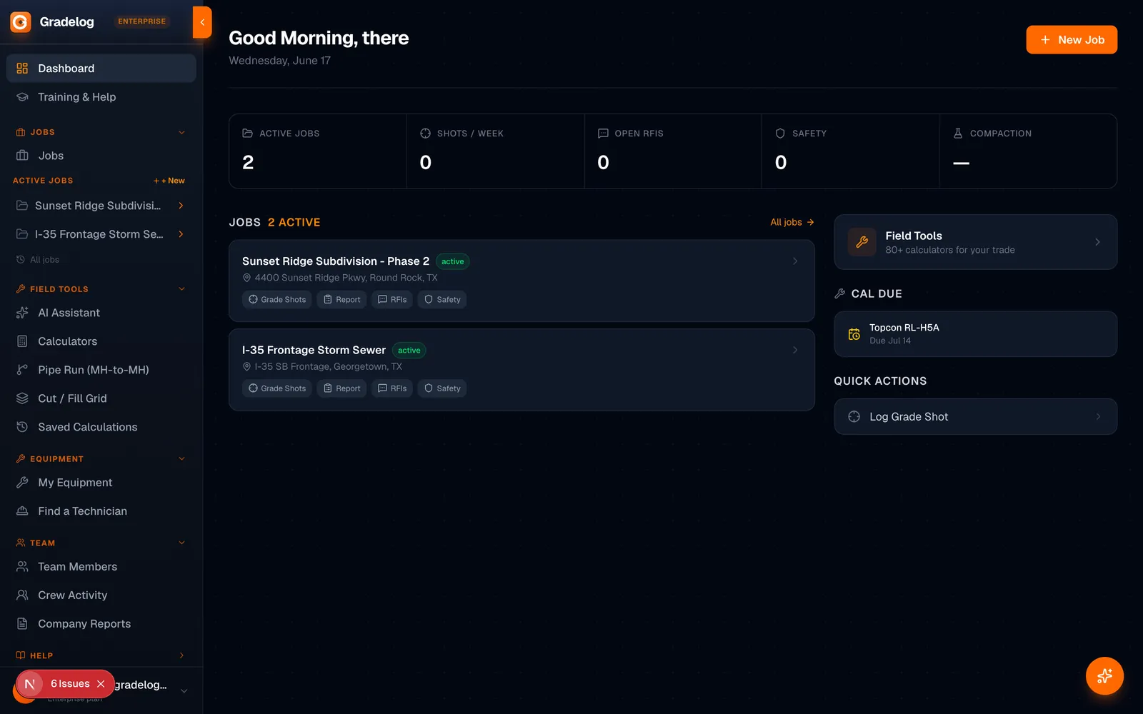
Running settlement monitoring programs or precise leveling for construction control? Gradelog provides field data logging, benchmark tracking, and level run documentation tools. Free to start at gradelog.com.